While the Austrian alps are busy with Skiing in winters, the summers are a hiking paradise. The best part of hiking in the Alps is that the landscape transforms as we hike farther and it's surprisingly safe. These trails are not unexplored and untouched, but untamed and laid down technically to reach various mountain ranges. These network of hiking trails connects between the cable car stations, and are well marked, so it is not always necessary to get back from the same cable car which lifted you to the top. The hiking trails offers various difficulty levels, starting from leisure hikes to alpine climbing or a family stroll across the gorgeous lakes. These rugged mountaintops, alpine lakes and glaciers are a paradise for hikers in summer.
 |
| Axamer Lizum |
There are hundreds of hiking trails in Tyrol region of Austria, but the most scenic, easy to hike, trouble-free to access and within the reach are the Zirbenweg trail of Patscherkofel and Hochtennbodensteig trail of Axamer Lizum
.
Zirbenweg trail, Patscherkofelbahn:
The Patscherkofel is one of the few valley stations in Austria which runs the cable car till late in the night but only on Thursdays. The gondola lifts from the Patscherkofel cable car station in Igls ascends from 1095 m to the mountain station at 1,965 m.
The Zirbenweg trail is part of the Tyrol Eagle walk and is one of the most scenic and well sign-posted mountain trails in Austria. Schutzhaus Patscherkofel restaurant marks the start of the Zirbenweg trail and leads through the pristine pine forests. The undulating path at an elevation of 2,000 meters extends from Patscherkofel mountain station to the Tulfeinalm and offers stunning views of the Inn valley. The 7km long easy hike can be covered in around 2hrs 30mins.
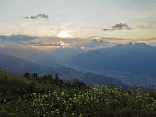 |
| View of the valley from Patscherkofel |
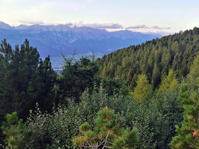 |
| Pine forests through the Zirbenweg hike |
 |
| The hiking trail |
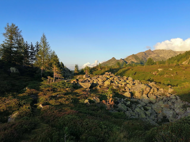 |
| Falling stones from the Patscherkofel, pilled up across the hiking trail |
Zirbenweg hike trail: (2hrs 30mins)
Patscherkofel valley station in Igls @1095 m -> Patscherkofel mountain station @1,965 m -> Boscheben - Zirbenweg Trail - Tulfeinalm @2,035 m -> Glungezer valley station in Tulfes @950 m
Hochtennbodensteig hike, Axamer Lizum:
This popular winter ski resort turns out to be a rather deserted summer hiking paradise. The open-air gondolas from Axamer Lizum to Birgitzköpfllift was a thrilling experience. Axamer Lizum has over 60km of summer hiking trails starting from its two mountain stations Birgitzköpflhaus & Hoadl-Haus (Olympiabahn). The spectacular views of the Kalkkögel - the Austria's own Dolomites, is perhaps what makes Axamer Lizum one of the most picturesque landscapes of Austria.
The Hochtennbodensteig hike from Birgitzköpflhaus towards the mountain station of the Hoadlbahn, can be done partly also till Halsl and back, which takes approximately an hour in total. More rewarding views of the dolomites awaits you through this hiking trail.
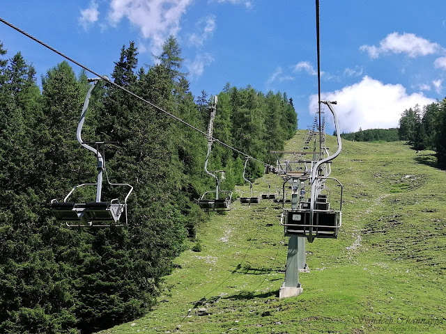 |
| Birgitzköpfl open-air gondalas |
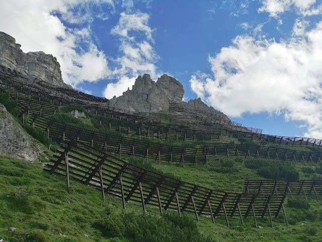 |
| Avalanche protector through the Hochtennbodensteig hike |
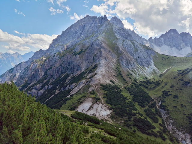 |
| Views of the mountains through the Hochtennbodensteig hike |
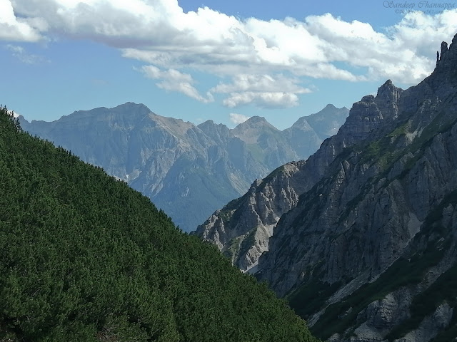 |
| Various mountain range as seen during the hike |
Hochtennbodensteig hike trail:(2hrs 30mins)
Birgitzköpflhaus - Halsl - Schneiderspitze - Widdersbergsattel - via Hochtennboden - Hoadl
How to reach Axamer Lizum? Bus 4162 from Innsbruck to the valley station of Axams Terminal Kögele. Check OBB app on play store for updated information on Austrian public transport. Also watch out for the bus schedules put up at the bus shelters.
Stay Tip: Stay in one of those alpine villages. Haven't received such a heart warming welcome from the hosts anywhere else.


Comments
Post a Comment